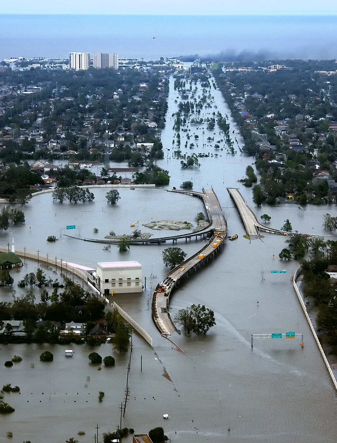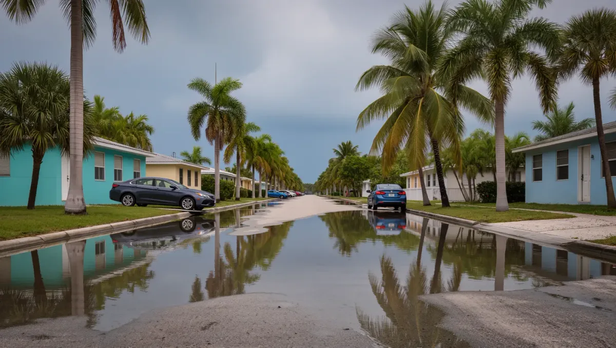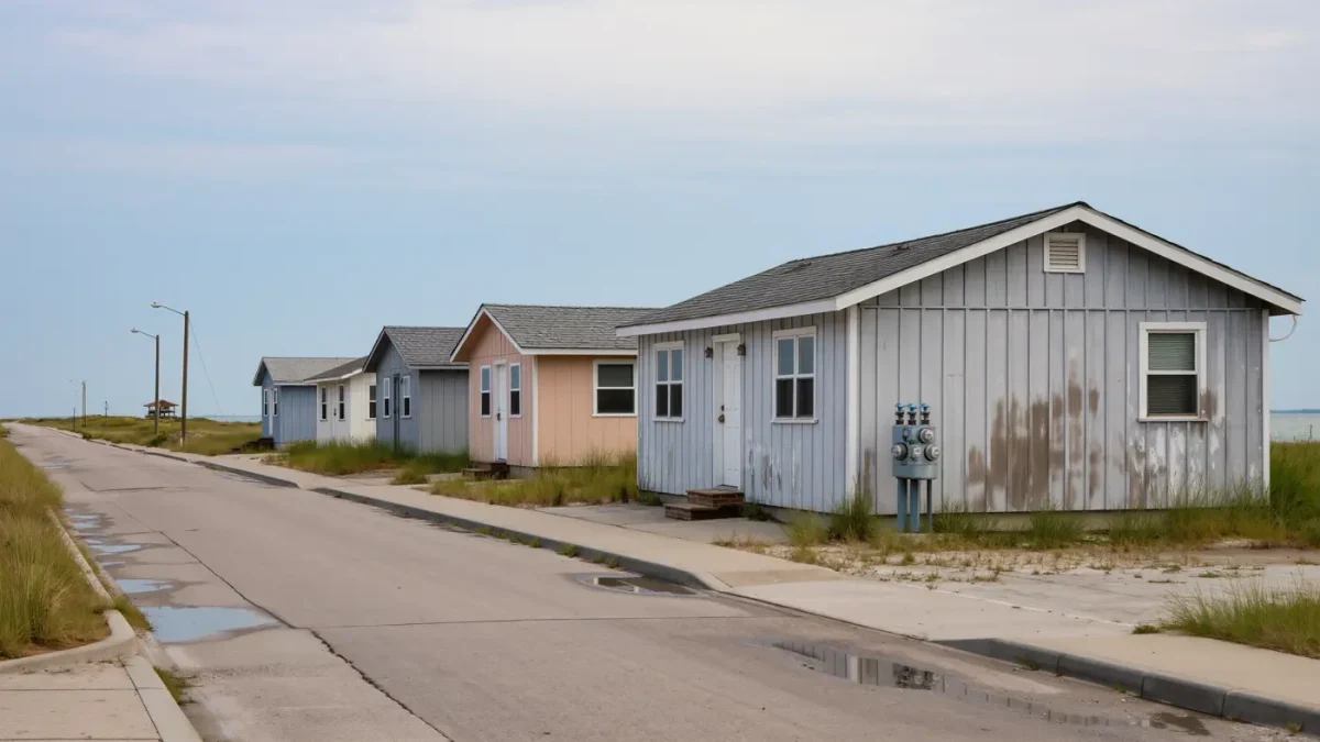
Flood map revisions change which properties carry lender-required flood insurance, not the premium formula itself: under Risk Rating 2.0, the National Flood Insurance Program prices policies on individual property risk and home value rather than flood zone, per FEMA's published pricing methodology. Map updates, issued in rolling cycles, still redraw the Special Flood Hazard Area boundaries that trigger mandatory purchase.
This is information about federal flood policy mechanics, not insurance advice. NFIP requirements apply nationwide; private excess flood coverage is priced separately by carrier.
What did the recent map updates do?
FEMA's map changes in a given six-month period include Physical Map Revisions and Letters of Map Change, per the agency's flood maps pages. A concrete example: updated Flood Insurance Rate Maps for O'ahu changed flood risk designations for more than 3,500 parcels, per the Hawaii Department of Commerce and Consumer Affairs' 2026 memorandum. Properties moved into the Special Flood Hazard Area face lender-mandated coverage; properties moved out can cancel it, though lenders may still require it on risk grounds.
How does Risk Rating 2.0 price a policy?
The methodology sets premiums on the property's specific flood risk characteristics — distance to water, elevation, replacement cost — rather than zone alone, with the stated aim of distributing rates more evenly across policyholders. Industry analyses of the transition estimated roughly 23 percent of policyholders would see decreases, about 66 percent increases of 0 to 10 dollars per month, and around 7 percent increases above 10 dollars per month, per the Association of State Floodplain Managers. Those are transition estimates, not current quotes.
Why does this matter for rental owners specifically?
Because flood insurance is a line item in the operating budget, and map revisions can create or remove a mandatory expense mid-hold. A unit mapped into the Special Flood Hazard Area with a federally backed loan must carry NFIP coverage or an equivalent, and premiums in higher-risk bands compound with the property-value weighting in the methodology. Owners of properties near recently revised maps should pull the parcel's current designation and check pending map revisions before underwriting a purchase — FEMA's map service and change process are public.
Can a designation be challenged?
Yes, through Letters of Map Change — a LOMA or LOMR-F removes a structure from the Special Flood Hazard Area where elevation data shows it sits above the base flood elevation, per FEMA's flood maps process. The challenge fixes the requirement question; it does not change the Risk Rating 2.0 price of a policy an owner keeps voluntarily.
The practical split to remember as of mid-2026: maps set the obligation, Risk Rating 2.0 sets the price, and the two move on separate calendars. Investors buying in mapped floodplains should model both — the mandatory-purchase trigger at the current map, and the property-specific premium the methodology produces.